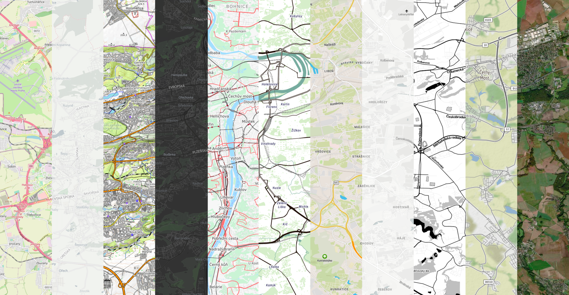
A Python ecosystem offers numerous tools for the visualisation of data on a map. A lot of them depend on XYZ tiles, providing a base map layer, either from OpenStreetMap, satellite or other sources. The issue is that each package that offers XYZ support manages its own list of supported providers.
We have built xyzservices package to support any Python library making use of XYZ tiles. I’ll try to explain the rationale why we did that, without going into the details of the package. If you want those details, check its documentation.
The situation
Let me quickly look at a few popular packages and their approach to tile management - contextily, folium, ipyleaflet and holoviews.
contextily
contextily brings contextual base maps to static geopandas plots. It comes with a dedicated contextily.providers module, which contains a hard-coded list of providers scraped from the list used by leaflet (as of version 1.1.0).
folium
folium is a lightweight interface to a JavaScript leaflet library. It has built-in support for 6 types of tiles and allows passing any XYZ URL and its attribution to a map. It means that it mostly relies on external sources of tile providers.
ipyleaflet
ipyleaflet brings leaflet support to Jupyter notebooks and comes with a bit more options than folium. It has a very similar approach as contextily does - it has a hard-coded list of about 37 providers in its basemaps module.
holoviews
holoviews provides a Python interface to the Bokeh library and its list of supported base maps is also hard-coded.
A similar situation is in other packages like geemap or leafmap.
Each package has to maintain the list of base maps, ensure that they all work, respond to users requiring more, update links… That is a lot of duplicated maintenance burden. We think it is avoidable.
The vision
All XYZ tile providers have a single lightweight home and a clean API supporting the rest of the ecosystem. All the other packages use the same resource, one which is tested and expanded by a single group of maintainers.
We have designed xyzservices to be exactly that. It is a Python package that has no dependencies and only a single purpose - to collect and process metadata of tile providers.
We envisage a few potential use cases.
The first - packages like contextily and geopandas will directly support xyzservices.TileProvider object when specifying tiles. Nothing else is needed, contextily will fetch the data it needs (final tile URL, an attribution, zoom and extent limits) from the object. In the code form:
import xyzservices.providers as xyz
from contextily import add_basemap

add_basemap(ax, source=xyz.CartoDB.Positron)
The second option is wrapping xyzservices.providers into a custom API providing, for example, an interactive selection of tiles.
The third one is using different parts of a TileProvider individually when passing the information. This option can be currently used, for example, with folium:
import folium
import xyzservices.providers as xyz

tiles = xyz.CartoDB.Positron

folium.Map(
    location=[53.4108, -2.9358],
    tiles=tiles.build_url(),
    attr=tiles.attribution,
)
The last one is the most versatile. The xyzservices comes with a JSON file used as a storage of all the metadata. The JSON is automatically installed to share/xyzservices/providers.json where it is available for any other package without depending on xyzservices directly.
We hope to cooperate with maintainers of other existing packages and move most of the functionality around XYZ tiles that can be reused to xyzservices. We think that it will:
- Remove the burden from individual developers. Any package will just implement an interface to Python or JSON API of
xyzservices. - Expand the list easy-to-use tiles for users.
xyzservicescurrently has over 200 providers, all of which should be available for users across the ecosystem, without the need to individually hard-code them in every package.
While this discussion started in May 2020 (thanks @darribas!), the initial version of the package is out now and installable from PyPI and conda-forge. We hope to have as many developers as possible on board to allow for the consolidation of the ecosystem in the future.