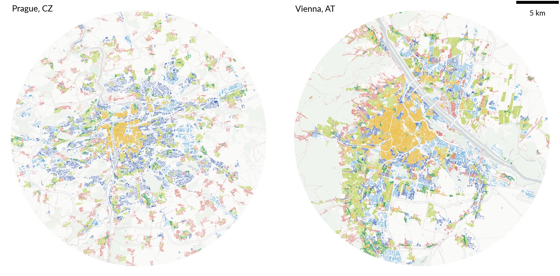
Though not just any classification. We believe that this one pushes the boundaries of our understanding of patterns that form our cities (and all the other settlements!) into directions that enable research of many new and old questions we have about urbanization. Urban Taxonomy divides cities into regions of consistent patterns of urban form (think about buildings and street layouts, compositions, and configurations) and connects them via a taxonomic tree. That, in turn, encodes how similar different regions are.
The details are well outlined at the dedicated site, urbantaxonomy.org. Just a few notes - all of it is open, from code to data. That means that you can either fetch it and play with it immediately or pull the code and apply the method to your own data. There’s a preprint to read if you are interested in how it works.
If you have any ideas that might involve Urban Taxonomy, give us a shout!