Data as a grid
From geometries to rasters
Some data are not linked to geometries
Some data are linked to cells of a grid
Grid can be represented as geometries
But it is inefficient!
Welcome N-D arrays

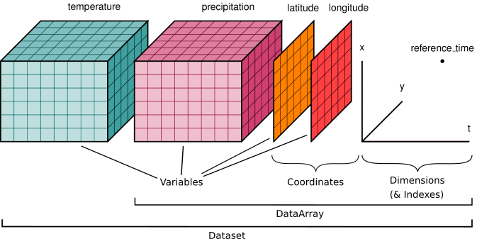
N-D arrays in xarray
Efficient storage
Efficient processing (grids are predictable!)
Efficient scaling
Efficient data structure for N-dimensional data
Directly reflect the way some data is captured
Grids in social geography
Usually large (global) scale data

Population grids

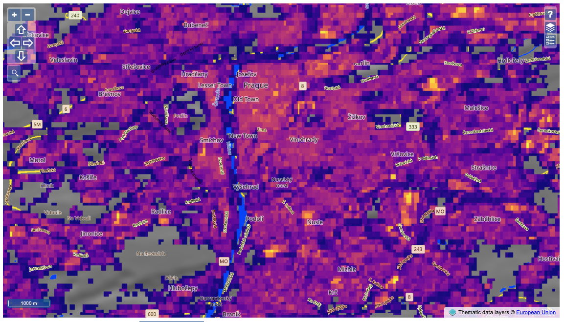
Built-up area

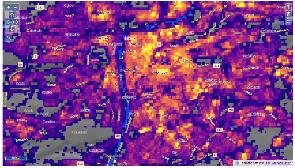
Built-up volume

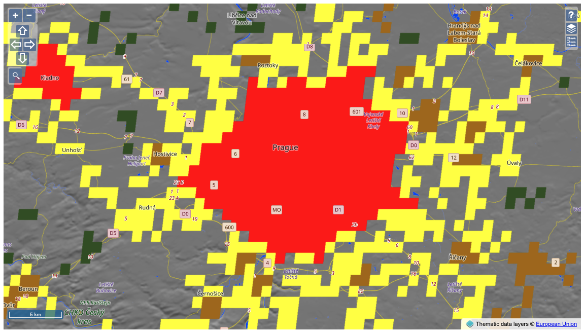
Typology of urbanisation
Auxiliary data
Land cover
Satellite imagery
Temperature
Weather
import xarray