What is Spatial Data Science?
Data Science
science of extracting meaningful information from data
Data Science is about
data collection
data cleaning and preprocessing
exploratory data analysis
data visualization
data modeling
descriptive analytics
predictive analytics
prescriptive analytics
machine learning
deep learning
Different
data
New data revolution
Raw data
Large data
Exotic data
Strange data
tools
Computational revolution
Python
R
SQL
JavaScript
methods
Methodological evolution
The old in the new world
The new derived from the old
The new
culture
Open science
Open data
Open tools
Open methods
Open mind
Spatial Data Science
data science that treats location, distance, and spatial interaction as core aspects of the data and employs specialised methods and software to store, retrieve, explore, analyse, visualise and learn from such data.
Spatial Data Science vs GIS
advanced statistical and computational techniques to analyse and derive insights from spatial data
deeper in computation
complex data pipelines (unlimited power of coding)
Spatial data science often draws from GIS but extends its capabilities by incorporating more extensive data analysis and modelling techniques
different toolkit
though some overlaps in the Esri world do exist
This course
compass
not a satnav
What the course IS about?
An overview of the ecosystem
A way to build an intuition
A kickstart of your journey
What the course IS NOT about?
Comprehensive guide
Definitive guide
Deep dive into math and stats
Idea behind the course design
A wide variety of methods and tools
Focus on application and use
Real-world data
Each class is divided into 3 parts
Concepts
Hands-on
Exercise
A lot of options to continue
on your own
Contents
Python
Second best tool for everything
Standard in GIS and Data Science
Easy-to-read language
10 lessons in 10 days
Structure
3 lessons on basics
3 lessons on exploratory data analysis
4 lessons on data science techniques
Structure
Introduction
Open Data Science
Spatial data
Spatial weights
ESDA
Point patterns
Clustering
Raster data
Interpolation
Linear regression
Organisation
Website
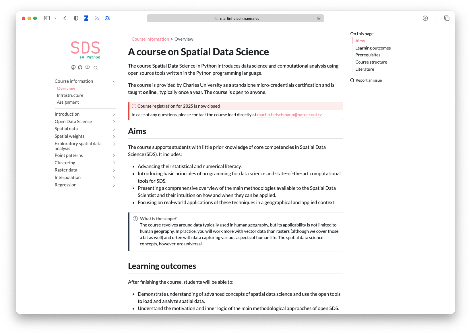
martinfleischmann.net/sds/micro
Teams
Evaluation
Exercises
Computational essay
An essay whose narrative is supported by code and its results, which are part of the essay.
2,500-5,000 words
equivalent
1,500 words
5 maps
2 tables
code
Topic
A Barcelona case
English or Czech language
Use of generative AI
It can be helpful but be cautious.
Helps more advanced users than beginners.
Can produce erroneous code.
Often results in too verbose and inefficient code.
Does not pick up the latest changes.
Acknowledge if used for the final assignment.
Contact
martin.fleischmann@natur.cuni.cz
![]()